Short answer
An earthwork volume is the space between two surfaces: the ground as it was (or the previous flight) and the design (or today's ground). The usual method surveys cross-sections on foot every so many meters and assumes what's in between; with a drone you fly the whole surface, build a point cloud and the software compares surface against surface. The result is cut and fill in bank m³, which isn't the same as the loose m³ the trucks count.
What you measure when you measure a volume
It's always two surfaces. To know how much is left, today's ground is compared with the design: what sits above the design is pending cut; what sits below, pending fill. To know how much was moved in a period, today's ground is compared with the previous measurement.
The difference between one method and another isn't the formula, but how much of the ground is actually known and how much is assumed.
1. The usual method: cross-sections
The surveyor takes profiles perpendicular to the project's alignment at fixed intervals. At each profile the cut and fill area against the design is calculated, and between two profiles the volume is approximated with the average end area method: the two areas added together, divided by two, times the distance between them.
Worked example, with round numbers and not from a real job: if one section has 12 m² of cut, the next 18 m² and they're 20 m apart, the volume between them is (12 + 18) ÷ 2 × 20 = 300 m³. It works well on a road with an even cross-section. It fails where the ground changes between profiles—a mound, a dip, a stockpile—because nobody measured that. And each update is another trip for the surveyor to the face.
2. The drone method: the whole surface
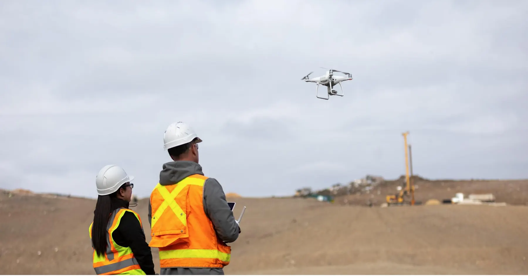
The drone flies the face in lines with overlapping photos. Through photogrammetry, those photos become a point cloud of the ground; with LiDAR, the sensor measures distances by laser and sees the ground between vegetation better. A continuous surface comes out of the cloud, and the software compares it with the design or the previous flight: the result is a cut/fill heat map and the m³ of each zone, without assuming what lies between profiles.
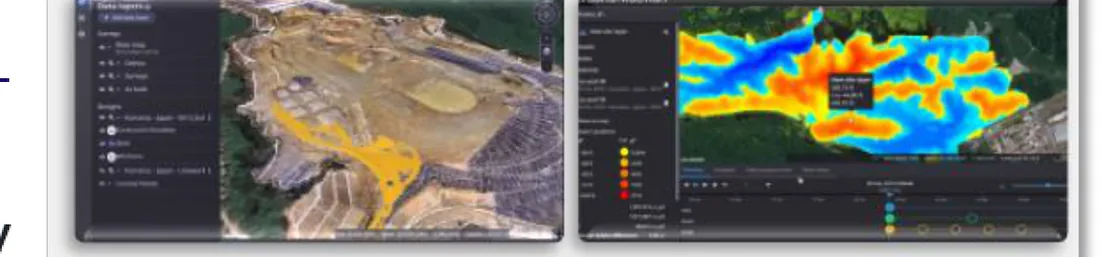
In Komatsu's Smart Construction, that flight is the Dashboard's input: it delivers the planimetry, the point cloud, the slope analysis and the digitized terrain in its initial state, and then the cut and fill calculations in m³. The post-processing that turns the flight into a digital twin is done by us.
- Control points: Tie the flight to the project's coordinates and grades
- Flight: Overlapping photos (photogrammetry) or laser (LiDAR)
- Point cloud: The whole ground, not every so many meters
- Surface: Continuous ground model, without vegetation or machines
- Comparison: Against the design or the previous flight
- Report: Cut and fill in m³, with a date
3. Bank, loose and compacted m³: why it doesn't match the truck count
The same dirt takes up three different volumes. Bank is how it sits in the ground before it's touched. Loose, it grows when dug: that increase is called swell and it depends on the material. Compacted, it takes up less than loose and often less than bank.
The drone measures the ground: bank m³ in the cut and compacted m³ in the fill. The truck carries loose m³. That's why counting trips almost always gives more volume than the survey, and it's not that anyone is lying. Illustrative example: if a material swells 25% when loosened, 100 bank m³ fill 125 m³ of truck bed. To square hauling and the payment certificate, first agree on which volume you pay for.
| Criterion | Bank | Loose | Compacted |
|---|---|---|---|
| Where it is | In the ground, untouched | In the truck bed or stockpile | In the finished fill |
| Who measures it | Survey or drone | Truck trips | Survey or drone |
| Used for | Paying for the cut | Planning the haul | Paying for the fill |
4. What affects the flight's accuracy
A poorly tied flight gives a precise volume of the wrong surface. Check these points before trusting the number:
- Ground control points or GNSS correction: without them, the cloud floats and the grade isn't the project's.
- The same coordinate system as the design: if they don't match, the comparison is useless.
- Vegetation: photogrammetry sees the canopy, not the ground; LiDAR penetrates better. Clear or filter before comparing.
- Water, puddles and smooth or shiny surfaces: they produce false points.
- Machines and temporary stockpiles on the face: filter them out or fly when they're out of the way.
- Flight height and photo overlap: they decide the cloud's detail.
5. From the flight to the payment certificate
The advantage isn't one flight, it's the series. Flying the face at a fixed frequency—whatever the job's pace calls for—, each period ends up with its surface and its date, and progress comes from comparing one with the other. In Smart Construction, the inspection stage delivers progress reports, m³ moved, final dimensions and heights, and control of what was designed against what was actually built.
With that, payment certificates stop being argued over estimates: they're argued over two dated surfaces anyone can measure again. And over-excavation shows up in time—dirt you pay to move twice.
6. What you need to get started
Measuring volumes only takes the flight and its processing; for the machines to also work against that design, you add the 3D design prepared for the machine, the GNSS base station on site and the guidance kits. The two can start separately: many projects begin by measuring and guide later.
Grupo ConstruMarket is Komatsu's authorized distributor in El Salvador, Guatemala, Nicaragua and Panama. The first step is a technical visit to the project. In this official video, in Spanish, Komatsu shows the Dashboard where progress is measured.
- How do you avoid earthworks rework and get grade right on the first pass?
- What is 3D machine guidance and when does it pay for itself?
Summary: what to choose
| If… | Then… |
|---|---|
| Road with an even section and few measurements | Cross-sections are enough |
| Irregular ground, stockpiles or pads | Drone flight: the whole surface |
| There's dense vegetation | LiDAR, or clear before flying |
| It doesn't match the truck count | Check bank versus loose |
| The payment certificate is disputed | Periodic dated flights |
Get a quote without leaving
Want to work it out with an advisor?
Topic: Technical visit · Smart Construction
Which country is your project in?
Common mistakes
Flying without control points
The cloud looks great and the grade is wrong: the volume comes from another surface.
Comparing with a design in other coordinates
If design and flight don't share a system, the difference is an error, not a volume.
Paying loose m³ as if they were bank m³
Truck trips include swell; agree on which volume you pay for.
Measuring only once
One flight is a snapshot; progress and payment come from comparing dated flights.
Take it to the job site
Print the checklist to go over it on site, or send the guide to your crew.
Frequently asked questions
How is cut and fill volume calculated?
By comparing two surfaces: the ground and the design, or today's ground and the previous one. With sections you use the average end area times the distance; with a drone the whole surface is compared.
Which is better for volumes, drone or conventional surveying?
On a road with an even cross-section, sections are enough. On irregular ground, stockpiles and pads, the drone measures the whole surface instead of assuming what lies between profiles. Surveying is still needed for the control points.
Why doesn't the survey volume match the truck trips?
Because the survey measures bank m³ and the truck carries loose m³: dirt swells when dug. You have to agree on which volume you pay for.
Does a drone work where there's vegetation?
Photogrammetry sees the plant canopy, not the ground. LiDAR penetrates vegetation better; otherwise, clear or filter before comparing surfaces.
Who does the drone survey and the calculation in Central America?
With Komatsu Smart Construction, Grupo ConstruMarket does the post-processing that turns the flight into a digital twin, in El Salvador, Guatemala, Nicaragua and Panama. It starts with a technical visit.
Ready for the next step?
See how Smart Construction measures itGrupo ConstruMarket · Job site checklist
How do you calculate cut and fill volumes with a drone?
An earthwork volume is the space between two surfaces: the ground as it was (or the previous flight) and the design (or today's ground). The usual method surveys cross-sections on foot every so many meters and assumes what's in between; with a drone you fly the whole surface, build a point cloud and the software compares surface against surface. The result is cut and fill in bank m³, which isn't the same as the loose m³ the trucks count.
4. What affects the flight's accuracy
- Ground control points or GNSS correction: without them, the cloud floats and the grade isn't the project's.
- The same coordinate system as the design: if they don't match, the comparison is useless.
- Vegetation: photogrammetry sees the canopy, not the ground; LiDAR penetrates better. Clear or filter before comparing.
- Water, puddles and smooth or shiny surfaces: they produce false points.
- Machines and temporary stockpiles on the face: filter them out or fly when they're out of the way.
- Flight height and photo overlap: they decide the cloud's detail.
Avoid
- Flying without control points. The cloud looks great and the grade is wrong: the volume comes from another surface.
- Comparing with a design in other coordinates. If design and flight don't share a system, the difference is an error, not a volume.
- Paying loose m³ as if they were bank m³. Truck trips include swell; agree on which volume you pay for.
- Measuring only once. One flight is a snapshot; progress and payment come from comparing dated flights.
Job site:
Date:
Supervisor:
Scan it for the full guide, with video and FAQ
https://grupoconstrumarket.com/en/guias/como-calcular-volumenes-de-tierra-con-dron